We promote an environment where people and projects succeed.
Unmanned Aerial Systems
Industry Leading Technology
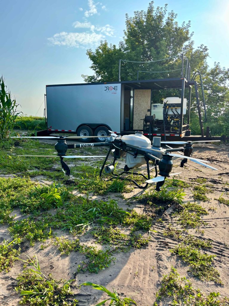
Merjent harnesses advanced unmanned aerial systems (UAS) technology to deliver efficient, safe, and data-driven solutions for environmental and infrastructure projects. Our unmanned aerial vehicle (UAV) operations provide clients with unmatched precision, reducing costs and minimizing environmental impact.
Aerial Applications
Conducted under Part 137
Herbicide application
Seeding
Soil amendments
Operational efficiencies
Limited impact to landscape
Ability to reach the unreachable
Precise application rates
Same day application rates
Merjent UAVs maximize working hours with airborne machine efficiency.
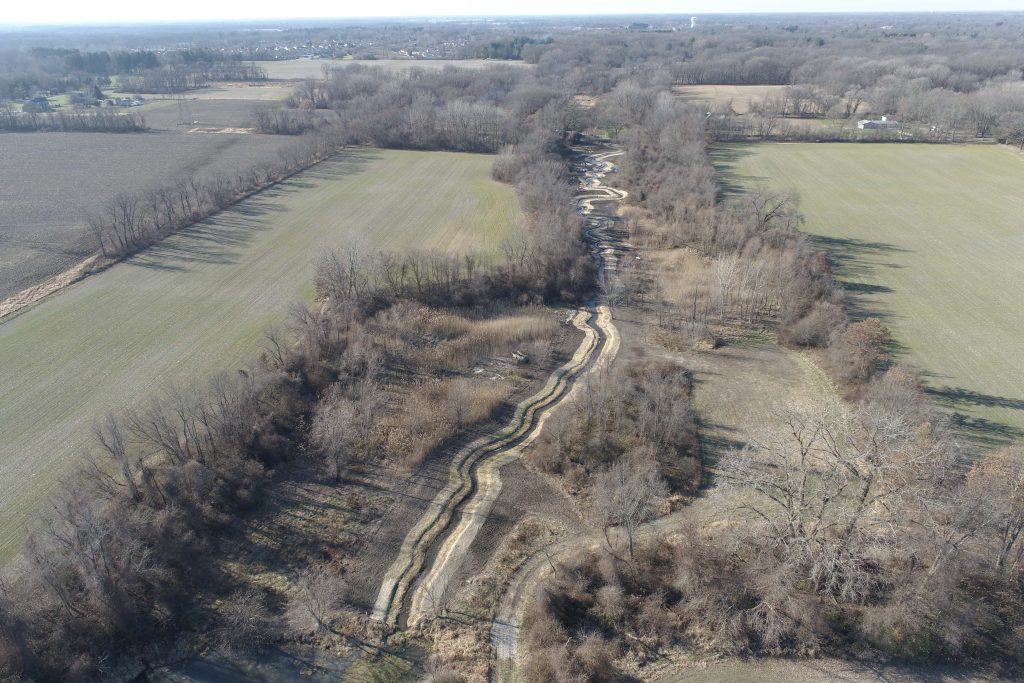
Mapping and Surveying
Part 107 – compliant operations
High resolution orthometric photography
3D modeling
State of the art equipment
61 megapixel camera
4K video
Up to 3 hours of continuous flight time
600+ acre mapping coverage
American made, National Defense Authorization Act-compliant UAV
Inspections and Monitoring
Environmental monitoring
Real time site monitoring
Structural inspections
Hard to reach or hazardous area inspections
Reduce environmental impacts
Progress tracking
High-resolution geo-referenced imagery
We take the time to listen and understand your business needs and challenges.